WITH forest fire and bush fire outbreaks showing an increasing trend over the years, there is an urgent need to use Remote Sensing and Geographic Information System (GIS) for better monitoring and management of Brunei’s forests.
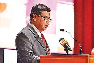
Dr Shafi Noor Islam, Assistant Professor of Geography, Development and Environmental Studies Department under Universiti Brunei Darussalam (UBD) also called for an integrated interdisciplinary management approach to control forest fires in the country.
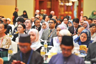
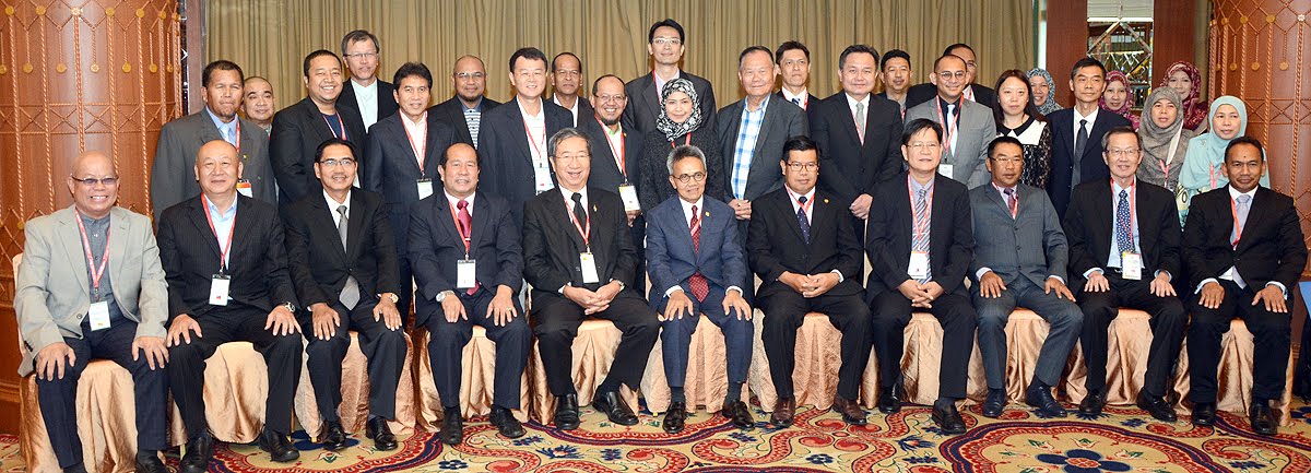
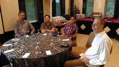
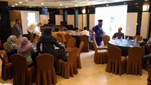
In his presentation on ‘Detecting Forest and Bush Fires Risk Area of Brunei Darussalam: Case Analysis on Brunei-Muara and Belait Districts’ during a parallel session of the 14th Southeast Asia Survey Congress (SEASC) 2017 yesterday at the Rizqun International Hotel, he iterated the need to provide proper guidelines for rehabilitation of borrow pits, while also highlighting the need to monitor projects undertaken by contractors.
On the land survey issues, he hoped that there will be better integrated mapping and monitoring of hotspots.
Quoting from the statistics of the Fire and Rescue Department, he said Brunei recorded 382 forest fire and 193 bush fire outbreaks in the first three months of 2016.
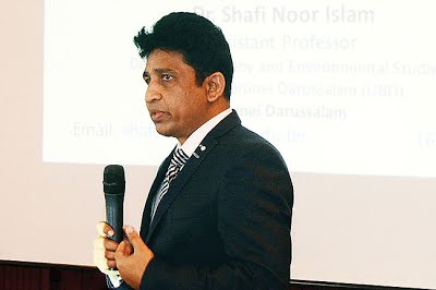
Dr Shafi Noor Islam, Assistant Professor of Geography, Development and Environmental Studies Department under Universiti Brunei Darussalam, delivering his presentation
Brunei-Muara District recorded the highest number of bush and forest fires totalling 238 during this period. Belait District recorded 199 cases (117 forest and 82 bush fires). This was followed by Tutong District with 133 outbreaks. Temburong reported only five outbreaks.
Anthropogenic and natural factors are the primary causes of forest and bush fires in the country, Dr Shafi said.
Forest fires, he said, would lead to loss of valuable natural resources, loss of wildlife habitat as well as biodiversity.
It can also cause runoffs leading to flooding. In addition, forest fires add to global warming and health problems.
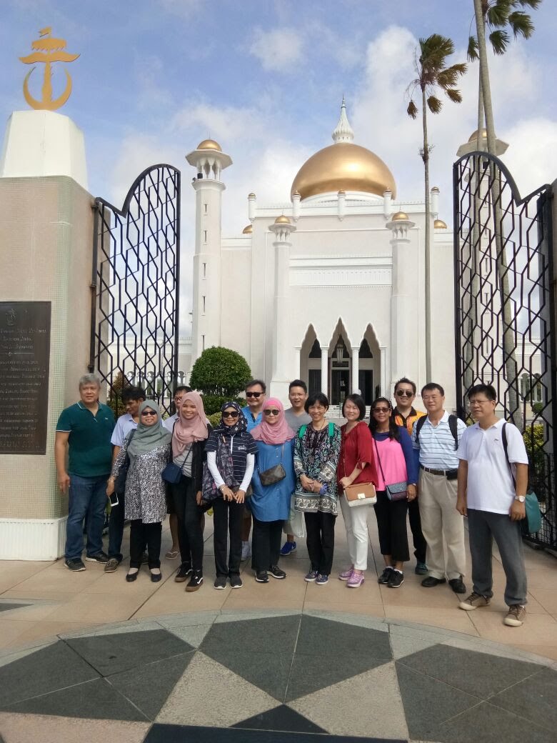
Article & Photos Courtesy of Borneo Bulletin