B.I.G. Council Members 2021-2023
B.I.G. donates to Frontliners for COVID-19 pandemic.
The Brunei Institution of Geomatics also known as B.I.G. was established in 2003. All work is performed under the direction of Haji Ali Bakar bin Haji Kasim, President and Haji Salleh bin Haji Jalil, Vice President who together have over decades years of surveying experience. Brunei Institution of Geomatics(B.I.G.) is licensed to provide survey and mapping services in Negara Brunei Darussalam.
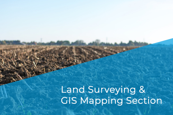
Land surveying consist of technique, profession, and science of determining the terrestrial or three-dimensional positions of points and the distances and angles between them.
Real estate is a property consisting of land and the buildings on it, along with its natural resources such as crops, minerals or water, immovable property in general.
GIS are used for everything one can imagine, from the earthly surface mapping to natural and anthropic(observation) resource management, from simulation and forecasting of events and phenomena to planning and decision.
Each member of our team is a specialist in his or her field. Together, we make sure to seek improve and elevate the technical and general knowledge of members and person concerning with geomatics.