‘UKUR TANAH ASAS PEMBANGUNAN (UTAP)’ SEMINAR 2014
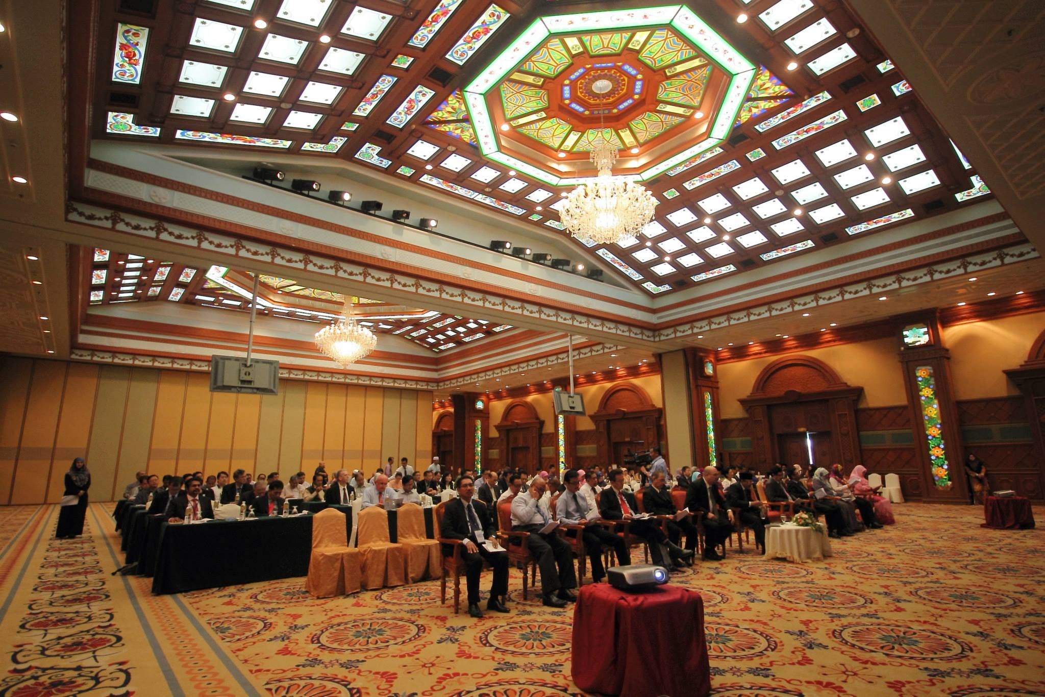
28 August 2014, Wednesday, Bandar Seri Begawan – The ‘Ukur Tanah Asas Pembangunan (UTAP)’ Seminar 2014 was jointly organized by the Survey Department, Ministry of Development and the Brunei Institute of Geomatic (BIG). The seminar was held on Thursday, 2 Zulkaedah 2014 corresponding with 28 August 2014 at the Rizqun International Hotel, Gadong. Present as the guest of honour was Yang Mulia Dato Paduka Haji Suhaimi bin Haji Gafar, Permanent Secretary (Technical and Professional) Ministry of Development, Brunei Darussalam.
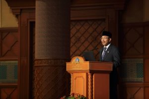
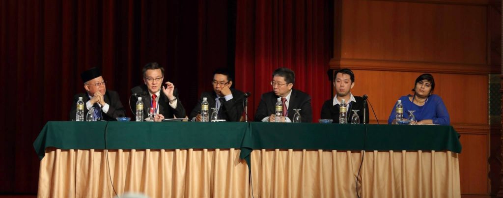
The ceremony began with the welcoming address by Yang Mulia Awang Haji Ali Bakar bin Haji Kasim, Acting Surveyor General, the chairperson of the event. A speech was then delivered by the guest of honour and subsequently officiated the seminar.
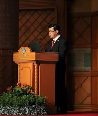
Five working papers were presented by speakers from the educational institute UBD-IBM and invited speakers from Sabah and Singapore as well as from the private sector.
The speakers and the title of their papers were as follows
- Soh Keng Peng of Singapore Land Authority “3D Cadastre – How to Deal with Space”
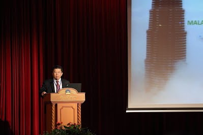
- Dr Teng Chee Hua of Department of Surveying & Mapping Malaysia “Developments of 3D Cadastre in Malaysia”
- Hj Safar b Untong of Lands and Survey Department Sabah, Malaysia “Development of Multi-Purpose Cadastre in Sabah”
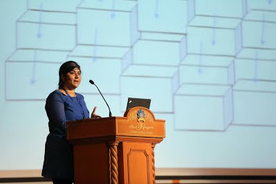
- Dr. Sandhya Aneja of UBD Brunei “GIS Based Flood Mitigation”
- Joe Wong of Total Monitoring Control Malaysia “Slope Surface Monitoring Using Robotic Total Station”
The papers are available for viewing or downloading below
The aim of the UTAP Seminar is to gather professionals in the land survey and geomatic sector as well as to share knowledge on recent projects carried out by local and regional government and private agencies
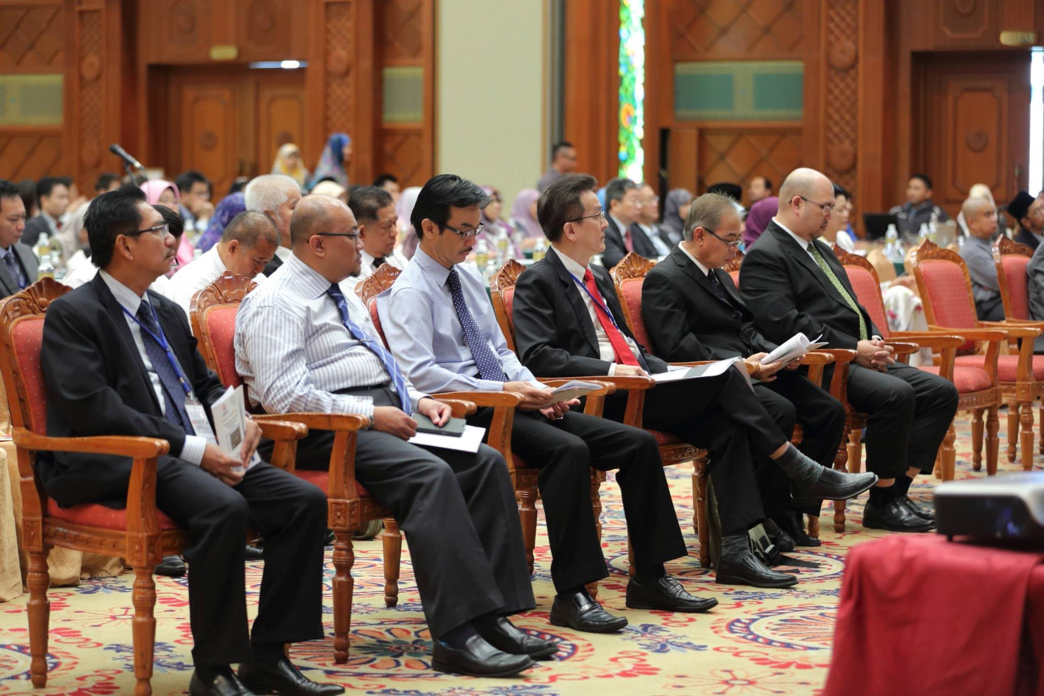
The participants of the seminar comprised of officers from various government departments and private companies especially in the field Of Land Surveying, Architecture, Developers, Town and Country Planning, Educational Institutions as well as Licensed Land Surveyors.
The first UTAP Seminar was held in 1985. The seminar is organized every two years and this year’s seminar is held in conjunction with the 30th Joint Surveyors Board Meeting which was held on Wednesday, 1 Zulkaedah 1435 corresponding with 27 August 2014. The theme of this year’s seminar is ‘Cadastre Innovation For Sustainable Development’. It focuses on the progress and the latest technological developments especially in the use and management of land survey.
Press Release & Photos Courtesy of Survey Department
http://survey.gov.bn/web/survey_department/latest-news
The papers presented at the seminar can be viewed or downloaded by clicking on the links below