Brunei to capitalise on geospatial technology: Minister

AS A member of United Nations Global Geospatial Information Manage-ment (UNGGIM), International Federation of Land Surveying (FIG) and Asean Federation of Land Surveying and Geomatics (AFLAG), Brunei Darussalam through the Survey Department, Ministry of Development will continuously support the initiatives to sustain and enhance national, regional and global socio-economic development by capitalising on geospatial technology.

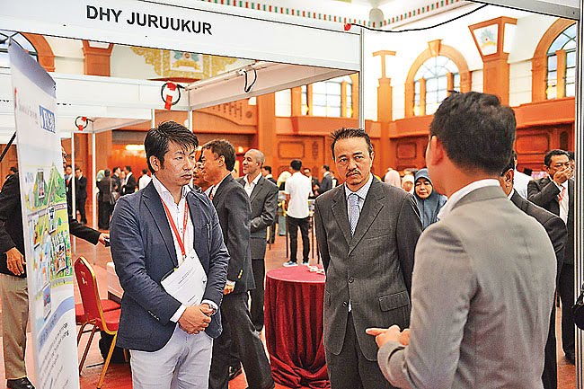
Brunei Darussalam’s continuous commitment in working with inter-national organisations on Land Surveying and Geomatics was lauded by Dato Seri Setia Awang Haji Bahrin bin Abdullah, Minister of Development in his keynote address as the guest of honour at the opening ceremony of the 14th Southeast Asia Survey Congress 2017 yesterday.

It was hosted by the Survey Department in collaboration with Brunei Institution of Geomatics (BIG) and AFLAG.

On the local front, the minister said the Ministry of Development through the Survey Department had also launched its own Survey Geoportal where members of the public can have online access on the geospatial information of Brunei Darussalam.

“The use of geospatial data and technology enables a lot of government programmes, services and economic activities to run more efficiently. The technology enables the integration of disparate information from many sources to support decision-making across broad sectors of the country,” he added.

Last year, the minister said the Ministry of Development through the Land Department also launched the Land Application and Registration Information System (LARIS).

The system enables applicants to apply for government approvals of any land transaction online. The plan is to further integrate LARIS with other systems of government departments and agencies in the future so as to expedite the approval process as part of the country’s Ease of Doing Business efforts, he said.

Dato Seri Setia Awang Haji Bahrin bin Abdullah, Minister of Development
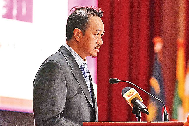
speaking at the opening of SEASC 2017


Minister of Development briefed at an exhibition booth


With the numerous initiatives in place, the minister said these are just the beginning of Brunei’s effort in carefully embracing geospatial technologies to address Brunei’s developmental needs and as an element to facilitate the realisation of Brunei’s National Vision 2035.
Touching on the use of technologies in geospatial earlier in his address, the minister highlighted is among the most important and exciting emergent technologies of today and the applications offer the potential to reward its users both in the private sector and in the government.
“The increasing availability of Geographic Information Systems and Internet Mapping with high resolution images is promoting both private and public sectors to start embracing and applying this technology in their planning, development and business strategies as well as in areas as diverse as disaster management, environ-mental and urban planning, security provision, risk assessment, utilities management, telecommunications, transportation and education,” he said.
The minister also noted that members of the public are increasingly purchasing and utilising place-based GIS generated products without necessarily having to be familiar with the technical aspects of the technology.
“The use of GPS or Internet-based maps to locate a particular place of interest using smartphones is just one of the examples of this trend. Such ease of access at relatively affordable prices makes the adoption of these technologies by consumers an increasingly compelling proposition, offering greater prospect for greater commercialisation in the future. This in turn will potentially fuel further innovation and new applications of the technologies and provide expansion room for the industry to enter into new market segments and an upward trajectory of growth,” he said.
Article & Photos Courtesy of Borneo Bulletin

Leave a Reply

Your email address will not be published. Required fields are marked *