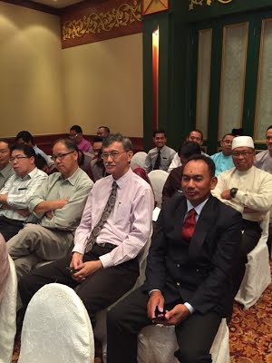
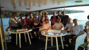
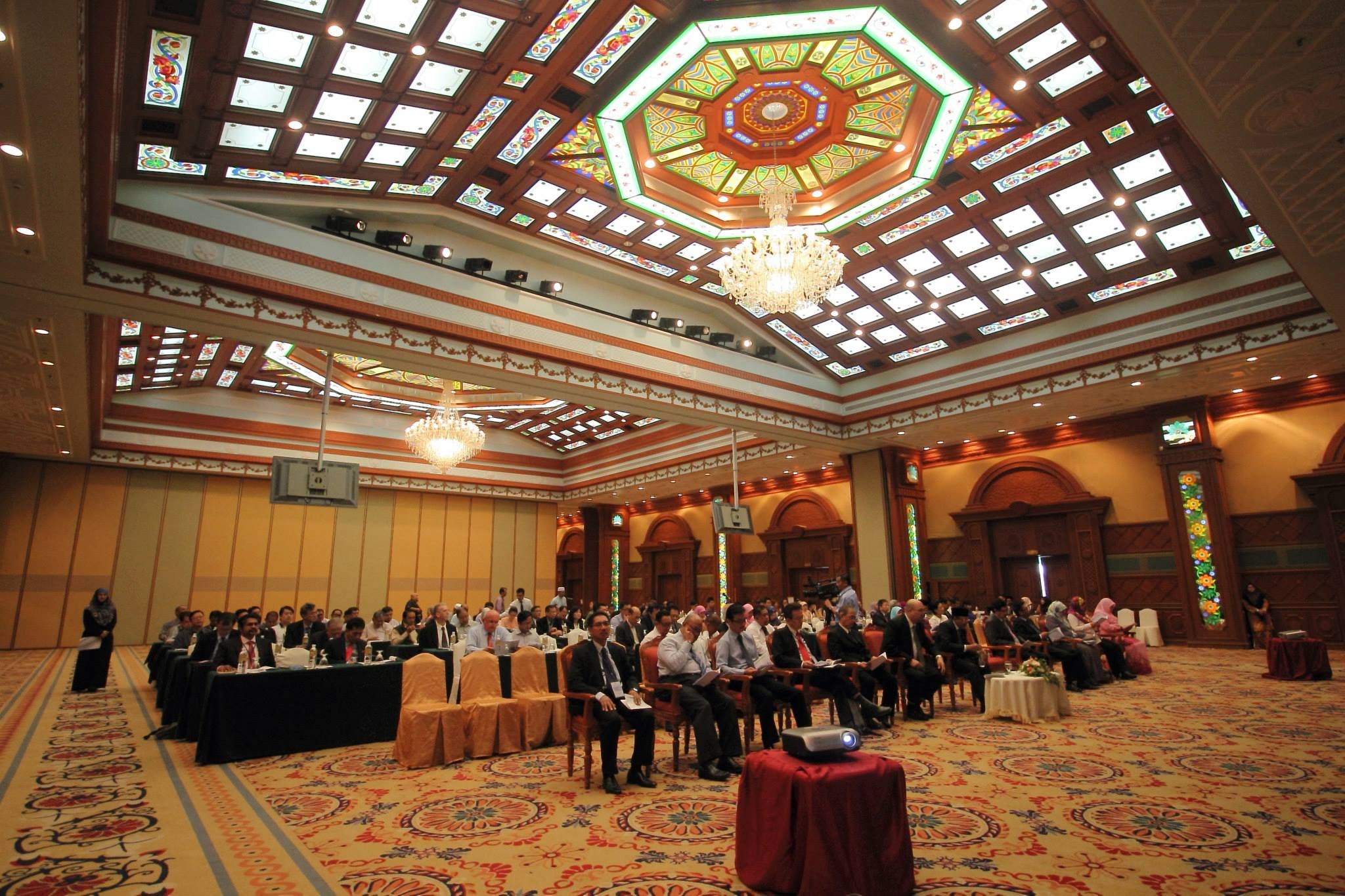
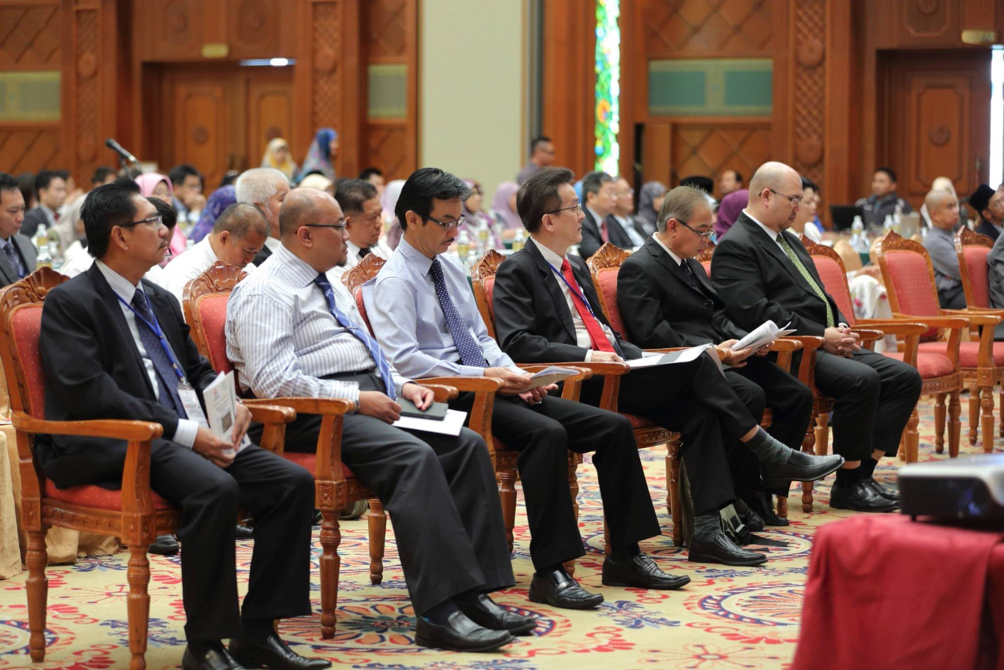
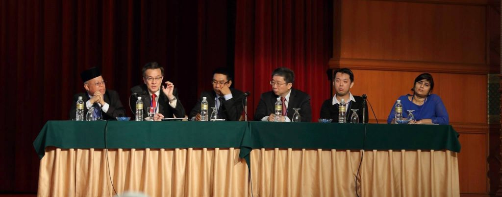
The National Surveying & Mapping Summit was held in Manila, Philippines on 28-29 April 2015. The event was organized by the Geodetic Engineers of the Philippines, Inc. The Theme of the Summit was “Convergence and Cooperation for a Better Future”
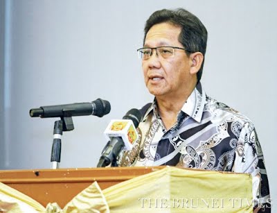
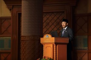
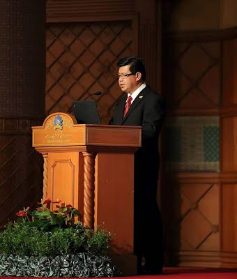
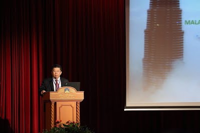
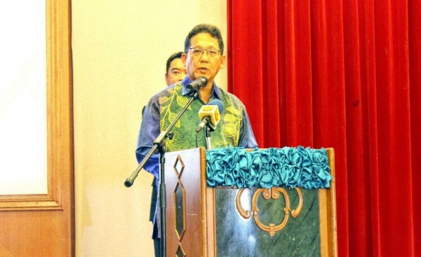
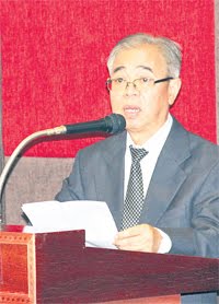
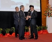
The President of ASEAN FLAG Pg Hj Matusin Pg Hj Matasan who is also the President of the Brunei Institution of Geomatics was invited to address the Summit.
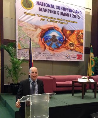
delivering his address